
The Health Policy Project ended in 2016. Work continued under Health Policy Plus (HP+) until 2022.
NEWS & VIEWS
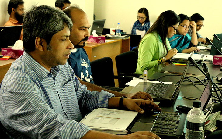
GIS Mapping workshop participants in Bangladesh. Photo by Eftekharul Alam Kingshuk, National AIDS/STD Programme, Bangladesh.
Posted March 31, 2015
By Anita Datar, Senior Policy Advisor, Health Policy Project/Futures Group
This piece was originally posted on the Center for Global Health Policy's Science Speaks blog: http://sciencespeaksblog.org/2015/03/31/mapping-health-facilities-supports-accountability-saves-lives/.
Imagine that a record-breaking typhoon is headed your way, scheduled to make landfall in less than a few hours. You are a decision maker, with little time remaining to estimate where the typhoon will strike, determine what communities will be affected, and estimate the severity of damage and destruction. In addition to mobilizing clean water, sanitation crews, and emergency food supplies, you need to ensure that all of your health facilities are prepared and well-stocked, ready to serve their catchment areas. Lives depend upon your ability to identify what resources are needed and to deploy them efficiently and to the right facilities. Time spent trying to answer these elemental health systems questions could mean the difference in the number of lives saved or lost.
This real-life scenario summarizes what health officials in the Philippines faced in 2013 during Typhoon Yolanda, one of the deadliest tropical cyclones on record. The Ministry of Health’s ability to respond effectively hinged on its ability to identify where health facilities were located. The success of this rapid response unequivocally strengthened arguments supporting the establishment and maintenance of a list of geo-coded facilities, and demonstrated why such lists are critical to ensuring responsive health systems, not only for disaster response but for long-term health systems strengthening.
This was the focus of a three-day meeting I attended as the manager of GeoHealth Mapping activities on the USAID-and PEPFAR-funded Health Policy Project. Led by the USAID- and PEPFAR-funded Demographic Health Survey Program, the purpose of the meeting was to discuss what resources are needed to help ensure that countries worldwide establish and maintain updated geo-coded lists of health facilities.
At first blush, establishing a Master Health Facility List sounds like something only data nerds should care about. That is, until you consider the scenario above.
In reality, understanding health facility locations and service availability is essential for public health program planning and service delivery—both routine programming and emergency response—yet few countries have comprehensive documentation, or even a system for identifying the geo-coordinates for sites and corresponding services in the public and private sectors.
To address this gap, the World Health Organization published a guidance document in 2013, Creating a Master Health Facility List. This document included explanations of the importance of involving key stakeholders; identifying what information to include and where to source these data; how to populate the MFL and address gaps; and—importantly—how to manage, disseminate, and maintain this valuable, geo-coded data source.
Last week’s MFL meeting sought to improve upon the original guidance document to offer countries a practical and modular resource package to support country-level implementation. Donors, development and implementing partners, country-level decisionmakers, and technical service providers hashed through key considerations across several components including governance, finance, policy, human resources, data interoperability and integration, with an ultimate vision of sustainability.
Establishing and maintaining a validated, high-quality MFL allows countries to take a geographic approach to public health policy, planning, programming, and monitoring. By locating health facilities on a map, decisionmakers and program planners can identify which populations are most in need, where health and social services are readily available, and what factors might contribute to gaps in service delivery. A widely shared MFL is also a governance tool, allowing for transparency and accountability within the health system.
The MFL is an essential component of the geospatial toolbox that allows other geographically coded data to be layered and linked to multiple, disparate data sources such as epidemic outbreak indicators; administrative boundaries that delineate regions, provinces, districts, or municipalities; transportation routes that reveal major roads or waterways; the location of facilities that offer lifesaving services, and even Doppler radar patterns. Investing in this foundational data source today will ensure the agility and responsiveness of a country’s health system tomorrow so that when the next public health threat arises, it can be located and mitigated.
In this age where big data meets advanced technology (much of which is open-source and freely available), reaching the last mile and connecting to health facilities in even the most rural areas is no longer an unattainable goal. It begins quite simply with locating these points on a map.
What's New
- Something to Build On: “Innovation Exchange” Celebrates the Health Policy Project’s Close and a New Beginning
- What Will it Take for Tanzania to Achieve ART Targets and Ensure Long-Term Sustainability of the HIV Response?
- Helping Kenya’s County Leaders Advocate for Increased Health Investments
- HPP Holds Working Meeting on Ensuring Responsible PEPFAR Transitions for Key Populations
- Health Policy Project Celebrates 2016 International Women's Day
- HPP Staff Participate in White House Conference on HIV Stigma Reduction